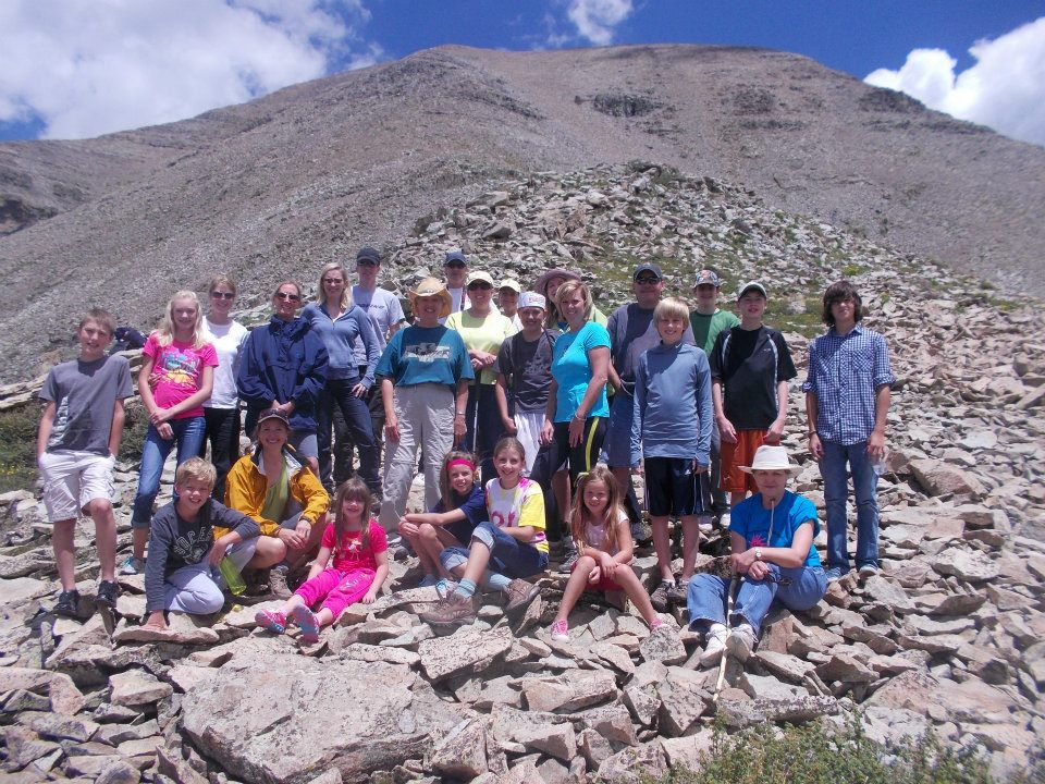
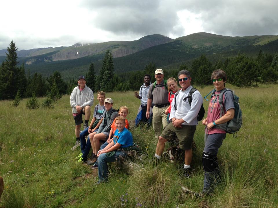
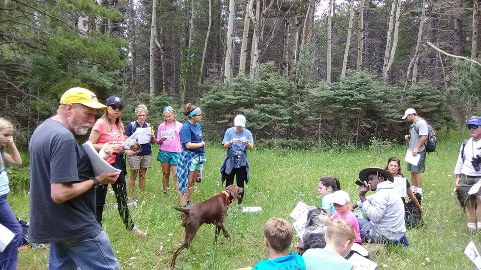
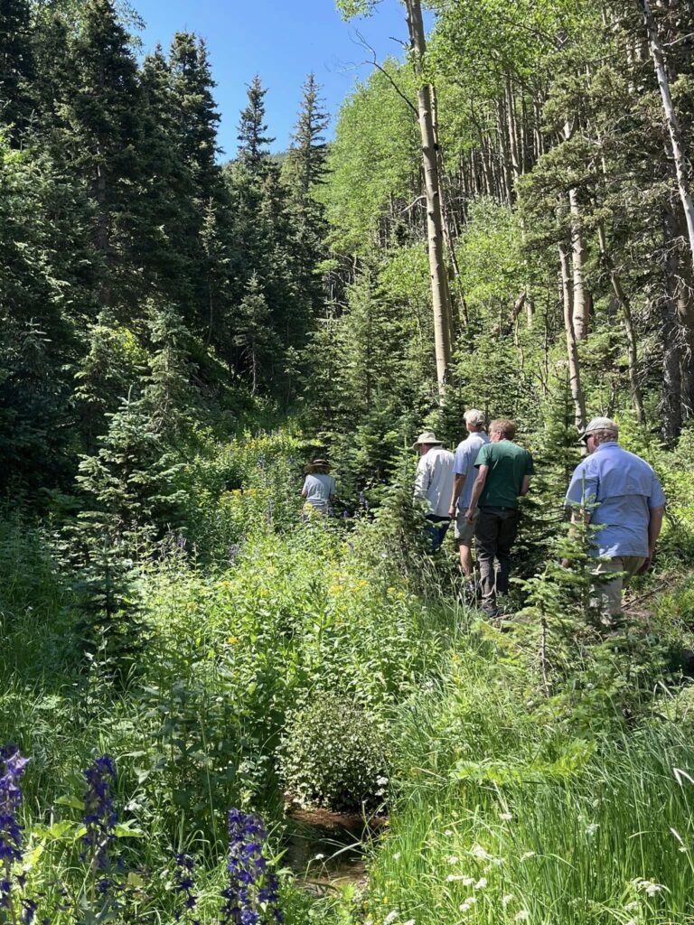
The Rec Program offers group hikes with a range of difficulty, allowing anyone in the community to experience the beautiful valley. This is a great opportunity to get outside, get some exercise, and meet others in the community.

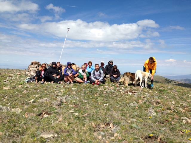
We have them categorized to help you decide if the hike is for you! These are broad categories, so please do your research before you head out on a trail without the rec program.

Distance: Approximately 5 miles | Difficulty: Easy
Logistics are difficult, because you have to park a car 3 miles below Cordova pass before you start hike from Cordova Pass.The Apishapa Trail is one that the Cuchara Valley Recreation program does not do very often due to the logistics issues. This is hike that is mostly down hill! Nice!! Trail head starts at the Cordova Pass parking lot. It follows the same trail that goes to the tree line (or to the top if so desired) of West Spanish Peak for about 1 1/2 miles. The W. Peak trail turns left and upward to climb to the tree line, while the Apishapa trail breaks down. At this point on the trail your elevation is just above the Cordova Pass elevation of about 11,000. The remainder of the trail is all down hill through spruce and aspen forest. The trail’s end hits the Cordova Pass road about 3 miles below Cordova Pass (on the Aguilar side). There is not any water on this hike until the very bottom where you will follow a small stream for the last 3/4 of mile or so.
Distance: 3 miles | Difficulty: Easy to Moderate
We start at the Blue Lake parking lot. After “circling up” for introductions, we hike past several lakes the lie between Blue and Bear lakes. Approximately 3 miles long, the tail is a gradual climb from Blue Lake to Bear Lake. Between the lakes there are many ponds and beaver dams to see. Once we hike pass Bear Lake we start the uphill climb to the ridge. This will be a very special lunch with this view, one of our favorites. It can be cold and windy so remember to bring layers. We retrace our steps back to Bear and Blue Lakes on our return trip. Often a favorite hike!
Distance: 3 miles | Difficulty: Easy to Moderate
In my humble opinion, this trail has the wrong name attached to it. The ridge line that the trail follows from the Spanish Peaks neighborhood down to Cuchara is called a Hogback, not a Dike. A Hogback is a sandstone ridge that has been uplifted during mountain making. A dike is a volcanic intrusion. So, this trail should be called Hogback Trail. Enough said. I won’t make a mountain out of the issue.
After meeting up at the Recreation Center, we drive up to the Dikes Trail head in the Spanish Peaks neighborhood. Our start is a steep one, as we climb to the top of the hogback. It is filled with switchback and plenty of rests so don’t let that scare you. On the way up we get some pretty views of the southern part of the Cuchara river valley the Culebra range (Snowy range). Once to the top of the ridge, we will have lunch with a view. We sit in amongst the sandstone boulders that overlook the White river valley that runs in front of the 3 White mountains (3 Sisters). After lunch, the trail is all down hill! This hike a can be a bit warm and dry so bring lots of water. We end up behind the Recreation Center, on the road up to Eddy’s Acres.
Distance: 3 miles | Difficulty: Easy to Moderate
For all ages! We start at Spring Creek picnic area and make our way to Haunted House Meadow for lunch. The trail starts a bit steep before it eases up to be a gradual climb to some great views of the valley. Along the trail there are many great photo opportunities including some great climbing rocks for the kids and great views of th everyone! Our lunch spot affords a classic view of all three of the White Peaks with the West Spanish Peak in the background. After a relaxing lunch in the meadow, we will make our way to the site of the old homestead and hear the story of the “haunted” house. Our trail back is different from the one up and has some great vistas of the Culebra range, the valley and the 3 White peaks and West Spanish Peak.
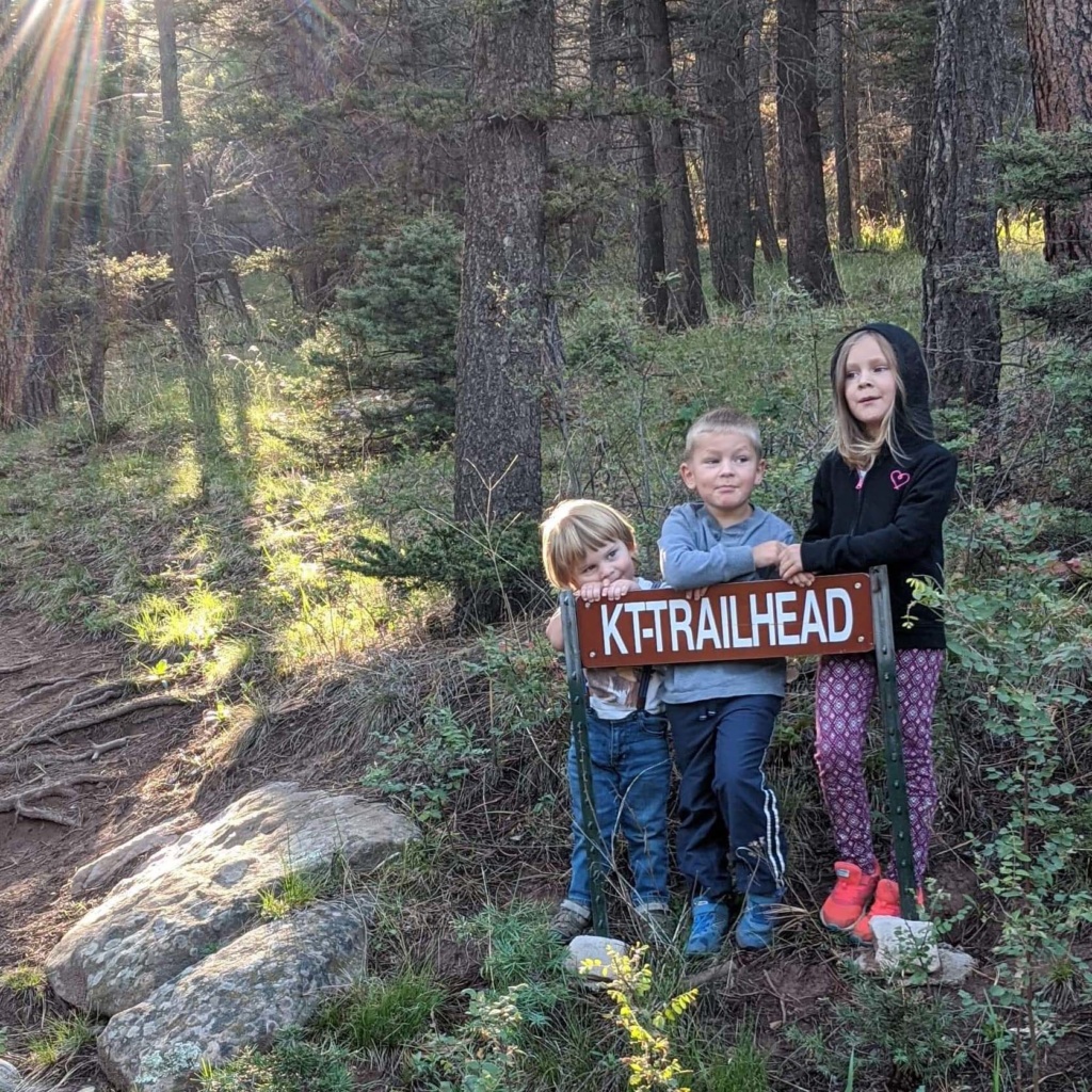
Distance: 1.5 round trip | Difficulty: Moderate. Short, steep and hot.
KT looks out over Cuchara and the Cuchara Valley. It has afforded folks a grand view of our little village of Cuchara for long time. I am sure it was a favorite spot for the people of the Ute tribe to surveil their summer hunting grounds, perhaps looking across the valley to a summer Ute camp in the meadow we call Haunted House Meadow.
The rocks that have the CKT painted on them are a part of a hogback of sandstone. It is called Dakota Sandstone. The sand in this sandstone was once part of inland sea that reached into our region before our Rocky Mountains were formed. If you look across the valley and north, you can see other uplifted layers of sandstone, more red in color that are the remnants of another, earlier Rocky Mountains. KT is not a dike, which are volcanic. KT is uplifted sandstone. In fact, it is the same Dakota Sandstone that forms the Garden of the Gods in Colorado Springs and the Flatirons near Boulder.
While on top, looking east, you will be able to see North White Peak, Middle White Peak and South White Peak, or the Three Sisters. You will see the White Creek Valley with the small White Creek running through it. Also, in the background will be the West Spanish Peak. Looking west you will see the northern section of the Culebra Range (Snake). From KT, you can see Cuatro, Trinchera, Teddy’s, Napoleon and the final peak to the north, Harrison Peak.
The history of the painting of the rocks with the K and T happens in the early 1930’s. There were groups of Boys Scouts staying in Cuchara Camps from Colorado, Texas and Kansas. The troops challenged each other to a race to the top of the mountain. The winner would be able to paint the initial of their home state on the best rock while the other troops would get less choice spots to paint their state’s initials. According to legend, the Texas troop won and Kansas came in second place. Colorado’s C perhaps didn’t get painted or something else happened because for a long time it was just K and T. There are stories of folks being hung by their ankles by friends to get the letters painted. There is even an outline of the state of Texas directly above the T, but it is mostly gone with the years. In the early 60’s, I believe, a C appeared next to the K. It will often times get changed into an O for Oklahoma. In the early 70’s it even got changed to a G for Georgia. I wonder who did that.
The highest point on the KT hogback is a rock that is called, High Point or Shipwreck or Indian Head or…It has a much faded “S” painted on the bottom part of the rock.
To find this trailhead, head up Oak Street past the chapel and on up. There is a parking area for the Dike Trail. Park there, but the KT trail is NOT the Dike Trail. The trailhead is about 50 ft or so on down the road from the Dike Trailhead with a sign. There are arrow signs that help you find your way up the switchback-filled trail. Near the top is a sign pointing up to KT. It is a series of steep, loose packed trails that will get you up to the top for the grand view of our valley. If you choose, there is a very faint trail, marked with orange survey tape. That will take you to Umbrella rock in about a quarter of mile. It is a really interesting rock formation, well worth the extra hike. At Umbrella Rock, you are below the rock I call High Point. It is often difficult to find the trail back to the KT trail, so be watchful.
Please, please don’t bring paint on this this, or any hike. Over the years, there has been lots of graffiti added to the surrounding rocks, and it is just UGLY to see.
If your family has other names of things, or more information about the history of KT, please let us know!
Distance: 4 miles, roundtrip | Difficulty: Easy
An easy 4 mile (round trip) hike, mostly flat, with lots to see!. The trail follows the Purgatory river and has amazing wildflowers lining both sides of the river and the trail. We cross the river at several points and feet can get a little wet. The trail takes us through wonderful towering Aspen groves, Engleman Spruce forests and wildflower filled meadows that just seem to sparkle. There is a bridge to get over the river in case you don’t feel like crossing in the water or on a log or two. Some find it easier and a little more exciting to wade across the river instead! We have lunch in a meadow full of wildflowers, an old log cabin and a great view of the Culebra mountain range. Lots of water and wildflowers on this hike.
Distance: Short Walk | Difficulty: Easy
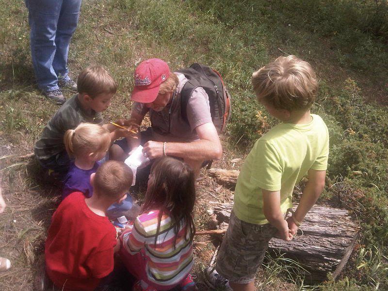
The Tyke Hike is a short stroll in the Spring Creek picnic area for children up to 8 years old. It is intended to help children meet other children, learn a little about the natural world around them, and to get some good exercise. We do not travel very far, but we see lots of things. We eat lunch near Spring Creek, climb on some rocks, learn about the rocks we climb on, investigate critters that live in the creek, and meet new friends that could last a lifetime! Bring a lunch!
We have them categorized to help you decide if the hike is for you! These are broad categories, so please do your research before you head out on a trail without the rec program.
Distance: 6 miles | Difficulty: Moderate, due to distance
We will “circle up” at the parking lot to the Indian Trail in the Bear Lake campground. Our hike begins with a good “up hill climb” to the ridge above Bear Lake. The nice thing about this hike is that once to the top of this ridge, the trail is 80% down hill! We’ll drop about 1000 feet in elevation from that ridge line to the trails end at Spring Creek picnic area. Our trail will takes us through Engleman Spruce forests, Aspen groves, over Baker Creek several times, through Scrub Oak tangles, and open meadows. Our lunching spot is right on Baker Creek where folks can dangle their feet in the cool water while they eat their lunch. The sound of the rushing water at lunchtime is quite refreshing! After lunch we pass just west of the ski area, and then down the Dogdeton Creek trail, finally emptying out at the Spring Creek picnic area. This hike is one of our longer hikes, but it is not a difficult hike.
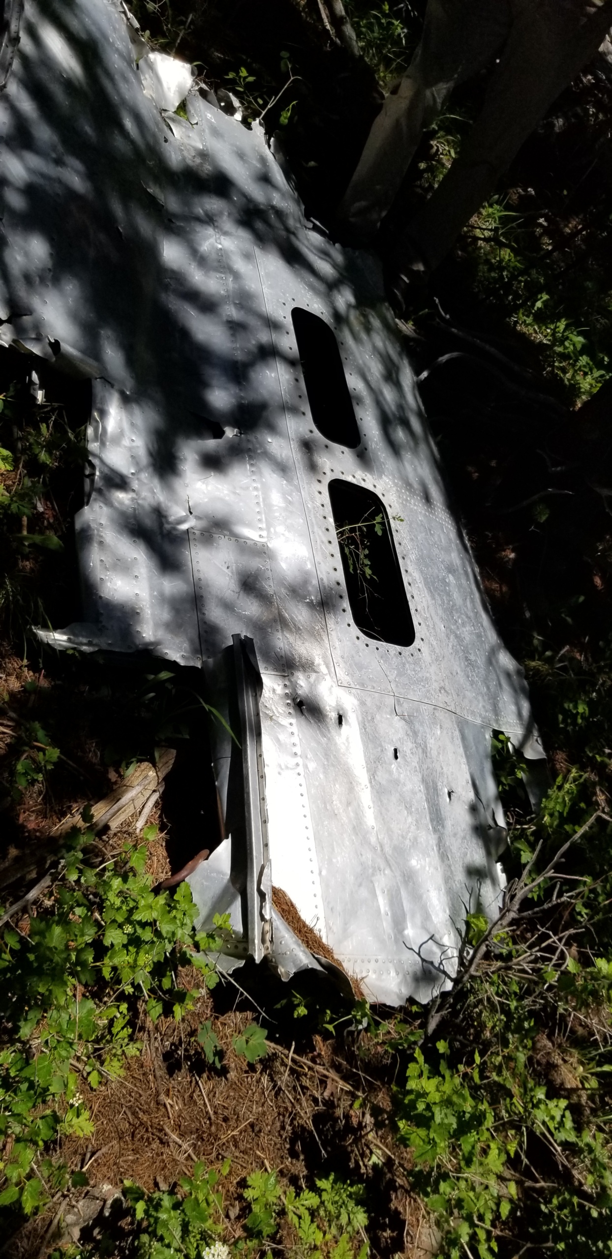
Distance: 3 miles, roundtrip | Difficulty: Strenuous
This is a strenuous hike, not because of its distance (about 3 miles round trip) but because of its steepness, hiking in a narrow, rugged valley with thready “trail” and climbing over loose rocks and fallen trees. Sturdy hiking boots and long pants will be required. Amy says “If you are on the fence about this hike, don’t go and just go look at the pictures of the bomber on the computer”
There is no formal trail leading to the wreckage. We follow a small stream for about a mile so it can be a very muddy and slick hike. This is an all uphill hike. Once we get near the site of the crash we begin to climb a ridge which is much steeper, and again without a trail. Once we start seeing pieces of the B-24 it covers a large area of the ridge.
This is a unique, very rewarding and sobering hike to see the crash site of a B-24 bomber that went down in March of 1943 where 7 men died. It was trainer plan that was traveling from El Paso to Pueblo. The bomber went down in March of 1943. It a touching and profound sight to see all the pieces of the wreckage scattered across the mountain side.
Distance: 5 miles | Difficulty: Moderately difficult
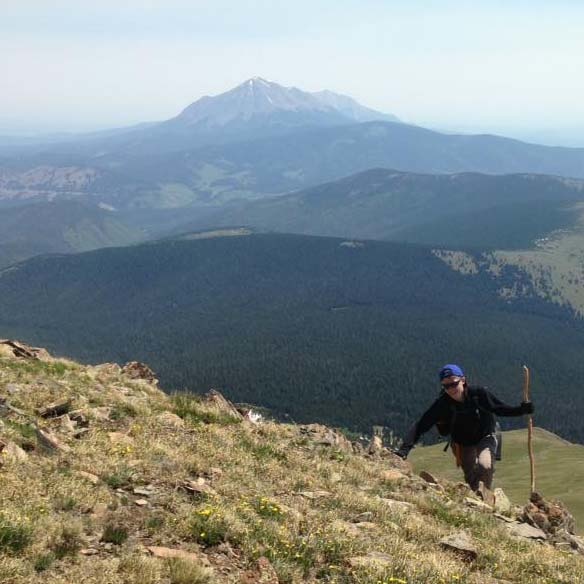
We will drive to the trailhead about a mile and half short of Cordova Pass. This hike is mostly downhill with the exception of a 20 minute uphill climb up the backside of the North White Peak and then the climb up the backside of the K. T. ridge to reach home.This is a beautiful hike through Engleman Spruce forests, Aspen groves, Aspen Meadows, Ponderosa forests, and Scrub Oak tangles. A beautiful, very old Bristlecone pine tree is the backdrop for our lunch spot. This tree maybe older than 200 years old! The climb up the backside of the North White Peak, also known as the First Sister, after lunch is not very difficult. The view from the top is a great one. While climbing to the top of the peak you will traverse loose shale that will clank and clatter as if you are walking on a pile of ceramic plates.The climb between the North White peak and Middle White peak is done in a slow and careful manner. It is covering a area of loose shale that shift as you walk. Once down from the peak, we have to bushwack through the Scrub Oak tangles on the backside of K. T. ridge. There is no trail through the scrub oak tangles. This is a great hike, with a huge range of terrain and vegetation. The climb down the front of the North White Peak can be a bit unnerving with the loose shale.
Distance: 3 miles, roundtrip | Difficulty: Difficult
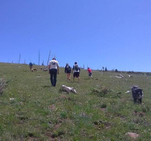
We will drive to the end of a dead end road that breaks off the road between Blue Lake and Bear Lake. This hike is strenuous and beautiful. The trail follows a beautiful mountain stream that is just full of wildflowers. It is a steep climb up through a beautiful Engleman Spruce forest. After a bit of a climb, the trail breaks out of the trees as you reach treeline. Often times, above treeline we will see snow drifts left over from the winter. Above treeline, we travel through alpine tundra, a whole other world! The wildflowers are low and small, but beacon you to check them out. As we climb through the alpine tundra, hikers tend to spread out and hike at their own pace. Once on top of the Culebra range ridge we have a lunch together. The view is 360 degrees of WOW! After lunch, there is a 30 minute hike that will take you to the top of Teddy’s Peak, named after our former President Theodore Roosevelt. We often see herds of Elk, Pika and sometimes Big Horn Sheep. This is one of our most rewarding hikes, but also one of our most difficult. We will climb about 1500 feet in elevation to reach the ridge line. Even if you just make it to the ridge line, it is a beautiful day!
Distance: 4 miles, roundtrip | Difficulty: Moderately difficult
We drive up to a 4 wheel drive road between Blue and Bear Lake. This hike is a consistently up hill hike (until we come back after lunch). We take frequent rests so that everyone can keep up and enjoy the hike. For the first section of our travels we follow the jeep road that goes to Trinchera Peak. We break off the jeep road and follow the Purgatory trail down hill for a bit. On this hike we get to hike into another county and see the old log fence marking the boundary between Huerfano and Las Animas counties. Our final destination, off the Wildcat trail, is a beautiful ridge with a great view of the valley and the neighboring mountains for lunch. We often see elk herds in this large alpine meadow. It can be cool and windy at our lunch spot atop the ridge so remember to bring layers! The view from this spot is awe inspiring!
Distance: 4 miles, roundtrip | Difficulty: Moderately difficult
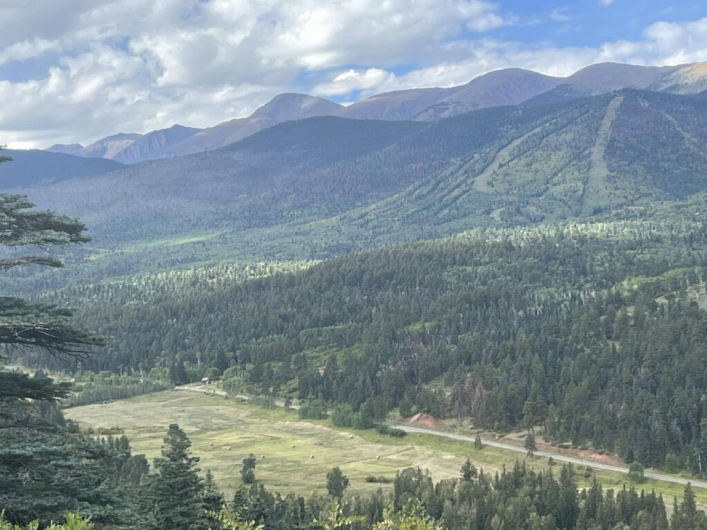
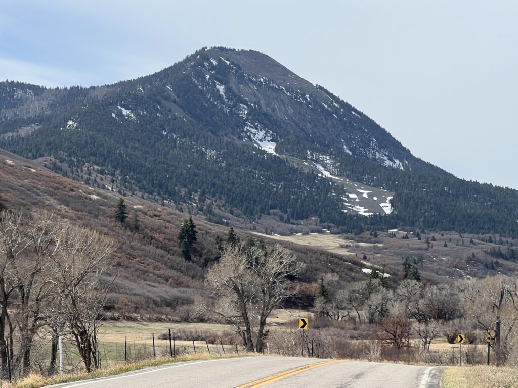
We “circle up” at the parking lot of Cordova Pass (formerly Apishapa Pass). We start by following the West Peak trail head. The first part of the trail is mostly flat and is an easy walk in fact it is a wheel chair accessible trail. After our easy part of the hike, we start doing some climbing. This is done with relative ease, as the trail is filled with switchbacks and we rest often. It is a rewarding climb and a doable hike for people and dogs of all ages. There are some great lookout points along the trail which are a great opportunity to get some pictures of the valley. On our way up we stop and visit an old mine which is a big hit with the kids. Our lunch spot is at the tree line where there is a great panoramic, breathtaking view. You can see volcanos of New Mexico, Trinidad, CO, Blanca Peak near Alamosa, Pikes Peak and the Cuchara River Valley. This is the same hike that we use for our Full Moon hike.
Distance: 4 miles, roundtrip
Difficulty: Moderate to difficult (gets dark on way back, making it hard to see)
This is a popular hike when we can get it in. We have trouble getting it in because of the weather. We often get rained out since the hike is in the afternoon/evening. On the Full Moon hike, we hike to the tree line of West Peak. Once we get to the tree line we watch the sunset and the moon rise from a wonderful vantage point. After the moon rises, we carefully walk back to Cordova Pass. Please make sure you wear warm clothes, bring a flashlight and a dinner. It is a fun and different evening for all!